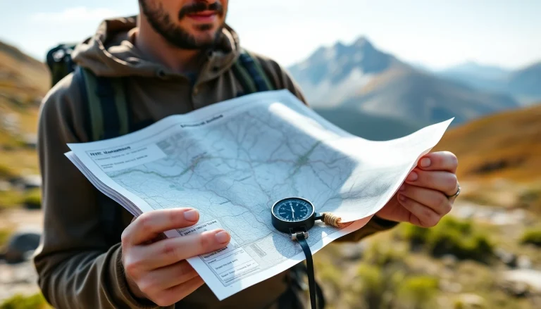
Topographic Map Reading: Terrain Features and Navigation Symbols
Reading topographic maps for navigation: USGS map scales and series, contour interval interpretation, the 10 terrain features (hill, ridge, valley, saddle, depression, cliff, cut, fill, draw, spur), drainage patterns, and the complete USGS symbol legend for trails, structures, and water.