The Gulf Coast faces a different hurricane threat profile than the Atlantic coast: the Gulf of Mexico’s warm, shallow water allows storms to intensify rapidly — sometimes gaining a full Saffir-Simpson category in 12–24 hours before landfall. The Gulf also produces a distinct storm surge threat driven by the shallow coastal shelf. Hurricane Katrina’s storm surge reached 27.8 feet at Pass Christian, Mississippi, and extended 6–12 miles inland. This guide covers the specific regional risks and preparation requirements for each Gulf Coast state.
Texas: Houston’s Unique Vulnerability
The Greater Houston area presents a combination of factors that create exceptional hurricane risk:
- Low elevation: Most of Houston sits at 40–80 feet elevation, but low-lying areas near Galveston Bay, Buffalo Bayou, and the many bayous that drain through the city can receive catastrophic flooding from both storm surge and rainfall. Harvey (2017) dropped 60.58 inches of rain in 5 days — the highest rainfall total ever recorded from a tropical cyclone in the continental US.
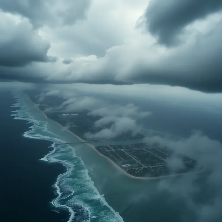
- Galveston Island: Galveston’s maximum elevation is 8–10 feet. The Galveston seawall (17 feet above mean low tide) protects a strip of the island, but the unprotected back bay side floods in any significant storm surge. A Category 4 or 5 direct hit would produce surge that overtops the seawall.
- Coastal Barrier System (SSPEED Center “Ike Dike”): A coastal barrier system to protect the Houston Ship Channel area is in planning and early construction phases — not yet complete as of 2024.
Surge evacuation zones for the Texas coast are published by the Texas Division of Emergency Management (TDEM) and Harris County. Zone A is the highest-risk zone requiring evacuation in a Category 1 or greater storm. Check your zone at readytexas.gov — surge risk is the primary evacuation driver, not wind speed.
Louisiana: New Orleans and the Coastal Parishes
The New Orleans metropolitan area sits largely below sea level — portions of the city are 6–10 feet below mean sea level, contained by a massive levee and floodwall system. The post-Katrina reconstruction by the Army Corps of Engineers has significantly improved flood protection:
- Hurricane Storm Damage Risk Reduction System (HSDRRS): The post-Katrina 350-mile system of levees, floodwalls, and surge barriers provides protection against a 100-year storm (1% annual chance of exceedance). Category 3 surge in most configurations. Does not protect against Category 4 or 5 direct hit surge.
- Lake Borgne Surge Barrier: A 1.8-mile-wide gate system at the entrance to Lake Borgne closes during surge events to prevent surge propagation into the MRGO channel and Lower Ninth Ward.
- Below-sea-level residents: If you live in a below-sea-level New Orleans neighborhood, a Category 3 storm with a direct hit or near-miss can produce surge that exceeds the protection system’s design. Evacuation for Category 3+ storms is not optional for below-sea-level residents.
Coastal parish vulnerability: Parishes south of New Orleans (Plaquemines, St. Bernard, lower Jefferson) have limited or no levee protection and face direct surge from Gulf storms. These areas require evacuation for any significant tropical storm.
The I-10 Evacuation Corridor: The Contraflow Problem
Interstate 10 is the primary east-west evacuation corridor along the Gulf Coast — and it is the primary bottleneck. During major evacuation events:
- Contraflow: Louisiana and Texas activate contraflow operations for major storms — converting inbound lanes to outbound lanes. Contraflow typically adds 20–30% capacity but still results in 12–24 hour trips that normally take 3–4 hours.
- Rita evacuation (2005): The evacuation ahead of Hurricane Rita killed approximately 100 people from heat exposure in gridlocked traffic on I-45 north of Houston. Many more died in the evacuation than in the storm itself.
- Leave early or use alternate routes: Evacuation at Tropical Storm Watch issuance (before it becomes a Hurricane Watch) typically means 2–4 hour trips. Waiting until the Hurricane Warning is issued typically means 12+ hour trips in gridlock. Know alternate routes: US-90, US-190, and state highways parallel to I-10 move faster when I-10 is gridlocked.
Mississippi and Alabama: Surge Risk on the Barrier Islands and Coast
Mississippi and Alabama face storm surge amplified by the shape of the coastline and the barrier islands:
- Mississippi Gulf Coast: The area between Biloxi, Gulfport, and Pass Christian received the highest Katrina surge recorded — 27.8 feet at Pass Christian. Katrina’s surge extended inland for 12 miles in Mississippi, destroying or severely damaging structures up to that distance from the coast.
- Mississippi barrier islands (Cat Island, Ship Island, Horn Island): Offer some surge reduction but are themselves very low-lying. Anyone on these islands must evacuate before a tropical storm approaches.
- Mobile Bay, Alabama: The funnel shape of Mobile Bay can concentrate surge. A Cat 3 storm entering Mobile Bay directly could produce surge of 12–16 feet in downtown Mobile.
Rapid Intensification: The Gulf’s Special Danger
Rapid intensification (RI) is defined as a wind speed increase of 35 mph or more in 24 hours. The Gulf of Mexico’s warm shallow waters make RI more common here than in the Atlantic. Michael (2018) intensified from a Category 2 to a Category 5 in approximately 24 hours before striking the Florida Panhandle. Ida (2021) intensified from a Category 2 to a Category 4 in the final 24 hours before reaching Louisiana.
The implication for preparation: a storm that is a Category 1 at 48-hour forecast can be a Category 4 at landfall. Base your preparations on the storm’s potential upper range, not its current intensity. In the Gulf Coast, all storms that receive a Hurricane Watch should be treated as if they will arrive at the top of their 5-day intensity forecast range.
14-Day Supply Requirements for Gulf Coast Residents
Post-Katrina recovery in Mississippi took 6–8 weeks for many areas. Post-Harvey, Houston residents without flood damage had power restored in 5–14 days depending on location. Plan for:
- 14 days of water (1 gal/person/day minimum), food, medications, and cash
- Generator with 15 gallons of stabilized fuel — air conditioning is a medical necessity, not a comfort, in Gulf Coast August heat
- Chainsaw and fuel for tree removal — fallen trees block roads and trap households for days
- Flood-proofed document storage (waterproof bag or fireproof safe above surge flood level)
Where to Go Next
General hurricane preparedness — evacuation decision framework, storm surge tables, and action timeline — is in hurricane preparedness: evacuation decision, storm surge, and 14-day supply list. 14-day supply quantities with specific costs are in hurricane supply list: 14-day quantities and storage by category.